Dataset SO289.202202.A
Date of Receipt
Data Type
Data Amount
Surveyed Kilometres
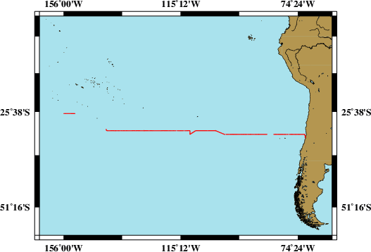
Sea Area
Data Format
Data Processing
Sound Velocity Correction
| Fahrtleiter Chief Scientist |
Prof. Dr. Eric Achterberg | ||||||
| Vermessungszeitraum Survey Period |
2022/02/18 - 2022/04/08 | ||||||
| Auslaufhafen Port of Departure |
Valparaiso / Chile | ||||||
| Einlaufhafen Port of Arrival |
Noumea / New Caledonia | ||||||
| Institution | GEOMAR | ||||||
| Positionierungssystem Positioning System |
|
||||||
| Horizontales Datum Horizontal Datum |
WGS 84 | ||||||
| Tiefenbestimmungssystem Bathymetric System |
SIMRAD EM122 | ||||||
| Vertikales Datum Vertical Datum |
Sea Level. | ||||||
| Datendistribution Dataset Distribution |
|
||||||
| Zitat Citation |
Bathymetriedaten der Reise SO289 des Forschungsschiffes Sonne. Herausgeber: GEOMAR - Helmholtz-Zentrum für Ozeanforschung, Kiel 2022 |
||||||
| DOD-Referenz DOD-Reference |
20220003 |
| Datensatz SO289.202202.A Dataset SO289.202202.A |
Eingangsdatum: 2022/06/09 Date of Receipt |
||
|---|---|---|---|
| Datenart Data Type |
Datenmenge Data Amount |
Lotungskilometer Surveyed Kilometres |
Seegebiet Sea Area |
| Multibeam Data, Binary | 72288 MByte | 6950 | |
| Datenformat Data Format |
Datenprozessierung Data Processing |
Schallgeschwindigkeitskorrektur Sound Velocity Correction |
|
| SIMRAD EM122 (ALL & WCD) | Post-processing software MB-System. Position and depth processing. | A function sound velocity profile is used during the survey. Check is used permanently during the survey. | |