Dataset M184.202208.A
Date of Receipt
Data Type
Data Amount
Surveyed Kilometres
Sea Area
Data Format
Data Processing
Sound Velocity Correction
| Fahrtleiter Chief Scientist |
Dr. Johannes Karstensen | ||||||
| Vermessungszeitraum Survey Period |
2022/08/12 - 2022/09/15 | ||||||
| Auslaufhafen Port of Departure |
St. John's, Newfoundland / Canada | ||||||
| Einlaufhafen Port of Arrival |
Hamburg / Germany | ||||||
| Institution | GEOMAR | ||||||
| Positionierungssystem Positioning System |
|
||||||
| Horizontales Datum Horizontal Datum |
WGS 84 | ||||||
| Tiefenbestimmungssystem Bathymetric System |
SIMRAD EM122 | ||||||
| Vertikales Datum Vertical Datum |
Sea Level. | ||||||
| Datendistribution Dataset Distribution |
|
||||||
| Zitat Citation |
Bathymetriedaten der Reise M184 des Forschungsschiffes Meteor. Herausgeber: GEOMAR - Helmholtz-Zentrum für Ozeanforschung, Kiel 2022 | ||||||
| DOD-Referenz DOD-Reference |
20220066 |
| Datensatz M184.202208.A Dataset M184.202208.A |
Eingangsdatum: 2022/10/07 Date of Receipt |
||
|---|---|---|---|
| Datenart Data Type |
Datenmenge Data Amount |
Lotungskilometer Surveyed Kilometres |
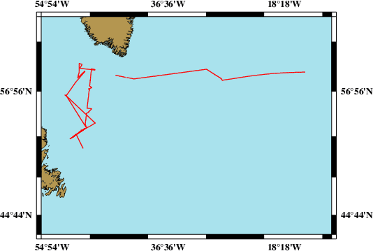
Seegebiet Sea Area |
| Multibeam Data, Binary | 25031 MByte | 5200 | |
| Datenformat Data Format |
Datenprozessierung Data Processing |
Schallgeschwindigkeitskorrektur Sound Velocity Correction |
|
| SIMRAD EM122 (ALL & WCD) | No filters are used. | Sound velocity from CTD deployments and, or SVP. Sound velocity at the keel provided by the given sound velocity profile or, if possible, the vessel mounted SV-probe. | |