Dataset M160.201911.A
Date of Receipt
Data Type
Data Amount
Surveyed Kilometres
Sea Area
Data Format
Data Processing
Sound Velocity Correction
| Fahrtleiter Chief Scientist |
Prof. Dr. Arne Körtzinger | ||||||
| Vermessungszeitraum Survey Period |
2019/11/23 - 2019/12/20 | ||||||
| Auslaufhafen Port of Departure |
Mindelo / Cape Verde | ||||||
| Einlaufhafen Port of Arrival |
Mindelo / Cape Verde | ||||||
| Institution | GEOMAR | ||||||
| Positionierungssystem Positioning System |
|
||||||
| Horizontales Datum Horizontal Datum |
WGS 84 | ||||||
| Tiefenbestimmungssystem Bathymetric System |
SIMRAD EM122 | ||||||
| Vertikales Datum Vertical Datum |
Sea Level. | ||||||
| Datendistribution Dataset Distribution |
|
||||||
| Zitat Citation |
Bathymetriedaten der Reise M160 des Forschungsschiffes Meteor. Herausgeber: GEOMAR | Helmholtz-Zentrum für Ozeanforschung, Kiel 2019 | ||||||
| DOD-Referenz DOD-Reference |
20190074 |
| Datensatz M160.201911.A Dataset M160.201911.A |
Eingangsdatum: 2020/01/09 Date of Receipt |
||
|---|---|---|---|
| Datenart Data Type |
Datenmenge Data Amount |
Lotungskilometer Surveyed Kilometres |
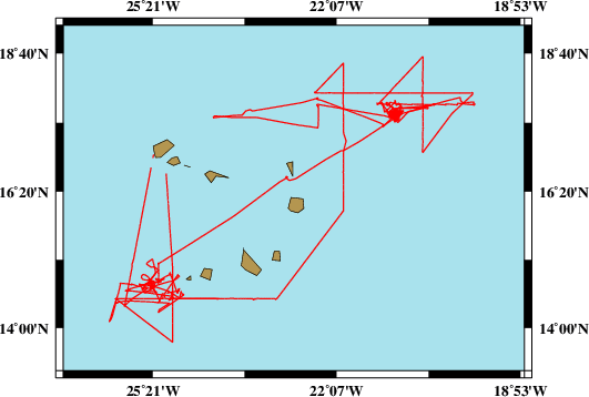
Seegebiet Sea Area |
| Multibeam Data, Binary | 48518 MByte | 6850 | |
| Datenformat Data Format |
Datenprozessierung Data Processing |
Schallgeschwindigkeitskorrektur Sound Velocity Correction |
|
| SIMRAD EM122 (ALL & WCD) | No filters are used. | Sound velocity from CTD deployments and, or SVP. | |