| Plattform Platform |
Reise-Nr. Cruise-No. |
Zeitraum Period |
Projekt Project |
Arbeitsgebiet Working area |
|---|---|---|---|---|
| Elisabeth Mann Borgese | EMB209 | 15.03.2019 - 27.03.2019 | BLMP+ |
Baltic Sea |
| Fahrtleiter Chief Scientist | Institut Institute | Auslaufhafen Port of departure | Einlaufhafen Port of return | Stationskarte Station map | Schiffsroute Trackchart |
|---|---|---|---|---|---|
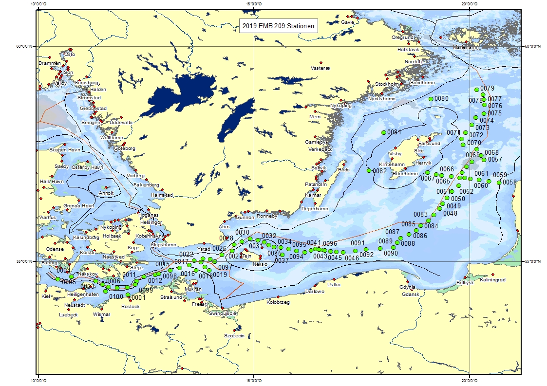
| Mohrholz Volker | Leibniz-Institut fur Ostseeforschung, Warnemunde | Rostock | Rostock | Karte Map |
Ziel der Reise / Objectives of Cruise:
The cruise EMB209 was carried out as a joined cruise of the environmental monitoring program of the Federal Maritime and Hydrographic Agency (BSH) and the Baltic Sea long term observation program of the Leibniz-Institute for Baltic Sea Research Warnemuende (IOW). It was the second cruise in a series of five expeditions performed annually. The data acquired are used for the regular national and international assessments of the state of the Baltic Sea and provide the scientific basis for measures to be taken for the protection of the ecosystem Baltic Sea. The cruise was performed in partly bad weather conditions. However, all planned research activities were realised.
Messungen / Measurements
| Institut Institute |
Wissenschaftler Scientist |
Anzahl Number |
Einheit Unit |
Typ der Messungen Type of measurements |
Kommentar Comments |
Daten im DOD Data in DOD |
|---|---|---|---|---|---|---|
| IOW | Pohl Frank | 15 | hauls | B08 Phytoplankton |
Plankton net. | yes |
| IOW | Pohl Frank | 7 | hauls | B09 Zooplankton |
Zooplankton net (WP2). | yes |
| IOW | Mohrholz Volker | 2222 | km | D71 Current profiler (e.g. ADCP) |
vessel mounted ADCP. | no |
| IOW | Mohrholz Volker | 100 | stations | H00 Stations |
- | yes |
| IOW | Dierken Medleen | 45 | stations | H09 Water bottle stations |
water samples. | no |
| IOW | Mohrholz Volker | 100 | stations | H10 CTD-Stations |
CTD. | yes |
| IOW | Mohrholz Volker | 185 | km | H10 CTD-Stations |
towed CTD (Scanfish). | yes |
| IOW | Mohrholz Volker | 500 | profiles | H10 CTD-Stations |
Microstucture Profiler. | yes |
| IOW | Dierken Medleen | 142 | stations | H21 Oxygen |
Oxygen samples. | yes |
| IOW | Mohrholz Volker | 2593 | km | H71 Surface measurements underway (T, S) |
Thermosalinograph. | no |
| IOW | Mohrholz Volker | 1 | n miles | H80 Other physical measurements |
Underway measurements during the whole trip such as coordinates, depth, meteorological parameter and so on | yes |
| IOW | Mohrholz Volker | 13 | day(s) | M06 Routine standard measurements |
Meteorological measurements with the ship weather station. | no |
Verankerungen / Moorings
| Institut Institute |
Wissenschaftler Scientist |
Typ der Messungen Type of measurements |
Kommentar Comments |
geogr.Breite Latitude |
geogr.Länge Longitude |
Daten im DOD Data in DOD |
|---|---|---|---|---|---|---|
| IOW | Mohrholz Volker | D71 | currentmeter and temperature logger, deployed and recovered | 55° 16.0' N | 16° 33.0' E | no |
| IOW | Mohrholz Volker | D71 | currentmeter and thermosalinometers, recovered and redeployed | 57° 22.0' N | 20° 20.0' E | no |