| Plattform Platform |
Reise-Nr. Cruise-No. |
Zeitraum Period |
Projekt Project |
Arbeitsgebiet Working area |
|---|---|---|---|---|
| Poseidon | POS476_477 | 17.10.2014 - 24.10.2014 | Baltic Sea Gotland Basin |
| Fahrtleiter Chief Scientist | Institut Institute | Auslaufhafen Port of departure | Einlaufhafen Port of return | Stationskarte Station map | Schiffsroute Trackchart |
|---|---|---|---|---|---|
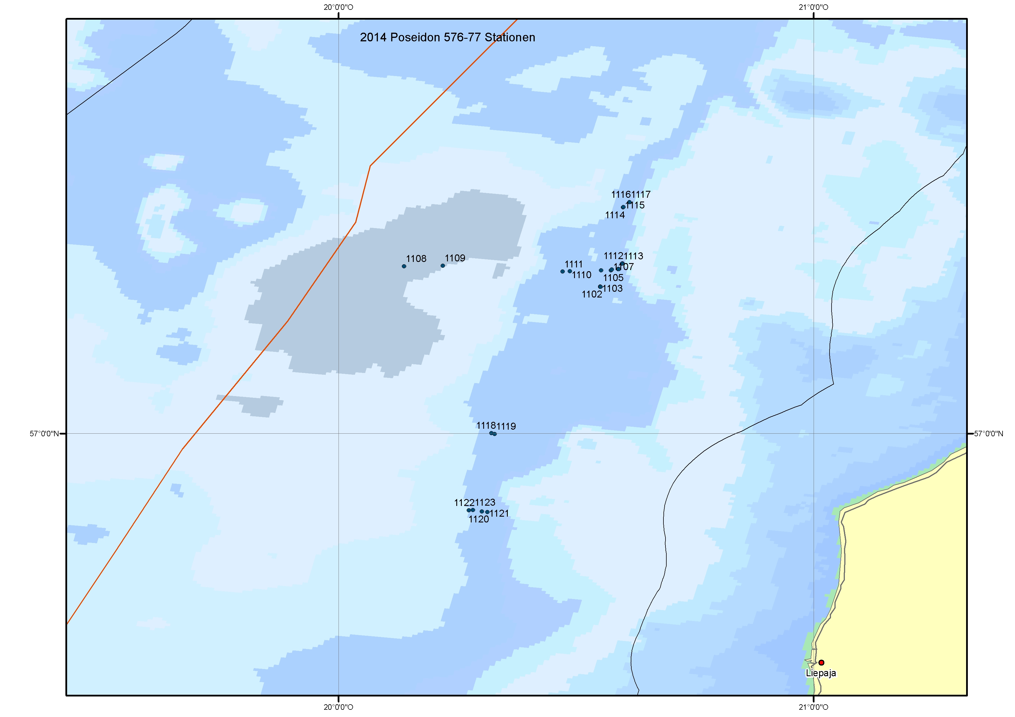
| Pfannkuche Olaf | Helmholtz Centre for Ocean Research Kiel (GEOMAR) | Kiel | Kiel | Karte Map |
Ziel der Reise / Objectives of Cruise:
The combined cruises Poseidon 476-77 are follow up cruises of ALKOR 422 which was carried out in Latvian waters in 2013 in the same working area. Our general investigations focus on redox-dependent nutrient, nitrogen and trace metal cycles in the benthic boundary layer of the suboxic to anoxic eastern Gotland Basin. We aim to study release rates and inventories of phosphate and iron under varying degrees of bottom water oxygenation and to quantify source/sink mechanisms of the benthic boundary layer for nitrogen species and trace metals under changing oxygen conditions to assess potential feedbacks on upper mixed layer processes. While Alkor 422 was carried out in summer we wanted to study the changing of oxygen conditions in fall and winter. The natural gradient of bacterial mats (Beggiatoa ssp.), which are indicators of the suboxic zone were investigated during the expedition by studying various stations from anoxic to anoxic water (autumn situation). Two instruments were employed for our investigation the towed video/still-camera system OFOS (Ocan Floor Observation System) and a TV-controlled CTD/Rosette water sampler. Two small bottom observatories were deployed at 96m and 123m for nine months to monitor changes in: CTD, turbidity, chlorophyll, oxygen and currents during the winter and spring situation. The observatories will be retrieved in July 2015 with R/V Poseidon.
Messungen / Measurements
| Institut Institute |
Wissenschaftler Scientist |
Anzahl Number |
Einheit Unit |
Typ der Messungen Type of measurements |
Kommentar Comments |
Daten im DOD Data in DOD |
|---|---|---|---|---|---|---|
| GEOMAH | Sommer Stefan | 10 | transects | G08 Bottom photography |
video films and still photos of the sea floor | no |
| GEOMAH | Sommer Stefan | 14 | stations | G08 Bottom photography |
TV-guided CTD/Rosette water sampler ; watersamples, bottom film and fotos | no |
| GEOMAH | Pfannkuche Olaf | 26 | stations | H00 Stations |
- | yes |
| GEOMAH | Sommer Stefan | 14 | stations | H10 CTD-Stations |
TV-guided CTD/Rosette water sampler ; watersamples, bottom film and fotos | no |
Verankerungen / Moorings
| Institut Institute |
Wissenschaftler Scientist |
Typ der Messungen Type of measurements |
Kommentar Comments |
geogr.Breite Latitude |
geogr.Länge Longitude |
Daten im DOD Data in DOD |
|---|---|---|---|---|---|---|
| GEOMAH | Sommer Stefan | D71 | small bottom lander mooring period 9 month | 57° 18.5' N | 20° 33.0' E | - |
| GEOMAH | Sommer Stefan | D71 | small bottom lander mooring period 9 month | 57° 20.7' N | 20° 35.3' E | - |
| GEOMAH | Sommer Stefan | H10 | small bottom lander mooring period 9 month | 57° 18.5' N | 20° 33.0' E | - |
| GEOMAH | Sommer Stefan | H10 | small bottom lander mooring period 9 month | 57° 20.7' N | 20° 35.3' E | - |