| Plattform Platform |
Reise-Nr. Cruise-No. |
Zeitraum Period |
Projekt Project |
Arbeitsgebiet Working area |
|---|---|---|---|---|
| Poseidon | 321 | 02.05.2005 - 11.05.2005 | NE Atlantic (Limit 40?W) |
| Fahrtleiter Chief Scientist | Institut Institute | Auslaufhafen Port of departure | Einlaufhafen Port of return | Stationskarte Station map | Schiffsroute Trackchart |
|---|---|---|---|---|---|
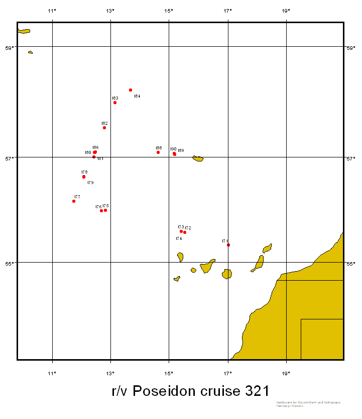
| Muller Thomas J. | Leibniz-Institut fur Meereswissenschaften an der Universitat Kiel | Las Palmas | Funchal | Karte Map |
Ziel der Reise / Objectives of Cruise:
The Azores Front with the associated Azores Current forms the northern boundary of the subtropical gyre in the eastern North Atlantic, not only for physical properties but also for plankton species which abundance very much depends on the nitrogen budget. The cruise had two major objectives: (i) to exchange moored current meters and particle traps near the front at site KIEL276, 33?N, 022?W to extend the long time that has been obtained at this site since 1980, and (ii) to monitor plankton communities. To achieve the goals, mooring V276-24 was recovered after one year of recording time and mooring V276-25 launched for scheduled two years at 33?N, 022?W. Several CTD/rosette and several multinet stations were obtained across the front between 31?N, 023?W and 35.5?N, 022?W, and samples from the uppermost sediment stratus were taken at 3 sites.
Messungen / Measurements
| Institut Institute |
Wissenschaftler Scientist |
Anzahl Number |
Einheit Unit |
Typ der Messungen Type of measurements |
Kommentar Comments |
Daten im DOD Data in DOD |
|---|---|---|---|---|---|---|
| GPITB | Hemleben Christoph | 6 | casts | B09 Zooplankton |
Multiple closing net, 500 m, 100 micron mesh, 5 nets, each of size 0.5 m x 0.5m x 2.6m | no |
| GPITB | Hemleben Christoph | 3 | casts | B18 Zoobenthos |
Minicorer, 3000 m to 5000 m, 4 tubes, 0.1 m diameter, 0.61 m length | no |
| IFMGEO | Muller Thomas J. | 1200 | n miles | D71 Current profiler (e.g. ADCP) |
VmADCP, 75 kHz 'Ocean Surveyor, underway' | no |
| IFMGEO | Muller Thomas J. | 1200 | n miles | G73 Single-beam echosounding |
12 kHz single beam echo sounder, 1500 m/s, 60 s | no |
| IFMGEO | Muller Thomas J. | 30 | stations | H00 Stations |
- | no |
| IFMGEO | Muller Thomas J. | 9 | stations | H09 Water bottle stations |
SeaBird 911 plus CTD/rosette + fluorometer | no |
| IFMGEO | Muller Thomas J. | 9 | stations | H10 CTD-Stations |
SeaBird 911 plus CTD/rosette + fluorometer | yes |
| IFMGEO | Muller Thomas J. | 1200 | n miles | H71 Surface measurements underway (T, S) |
Thermosalinograph, 60 s | no |
| UQAM | Lehmann Moritz | 6 | casts | H75 Total-N |
Total N using different isotopes | no |
| UQAM | Lehmann Moritz | 40 | samples | H75 Total-N |
Near-surface samples from pump at 4 m depth; total N using different isotopes | no |
| IFMGEO | Muller Thomas J. | 1200 | n miles | M02 Incident radiation |
Automated meteorological station; data transmitted regularly to the GTS via satellite, 60 | no |
Verankerungen / Moorings
| Institut Institute |
Wissenschaftler Scientist |
Typ der Messungen Type of measurements |
Kommentar Comments |
geogr.Breite Latitude |
geogr.Länge Longitude |
Daten im DOD Data in DOD |
|---|---|---|---|---|---|---|
| IOW | Schulz-Bull Detlef E. | B73 | lauched; 6xRCM8, 2 traps | 33° 0.0' N | 22° 0.0' W | - |
| IOW | Schulz-Bull Detlef E. | B73 | recovered; 6xRCM8, 2 traps | 33° 0.0' N | 22° 0.0' W | - |
| IFMGEO | Muller Thomas J. | D01 | recovered; 6xRCM8, 2 traps | 33° 0.0' N | 22° 0.0' W | - |