| Plattform Platform |
Reise-Nr. Cruise-No. |
Zeitraum Period |
Projekt Project |
Arbeitsgebiet Working area |
|---|---|---|---|---|
| Heincke | HE216 | 23.08.2004 - 29.08.2004 | Baltic Sea |
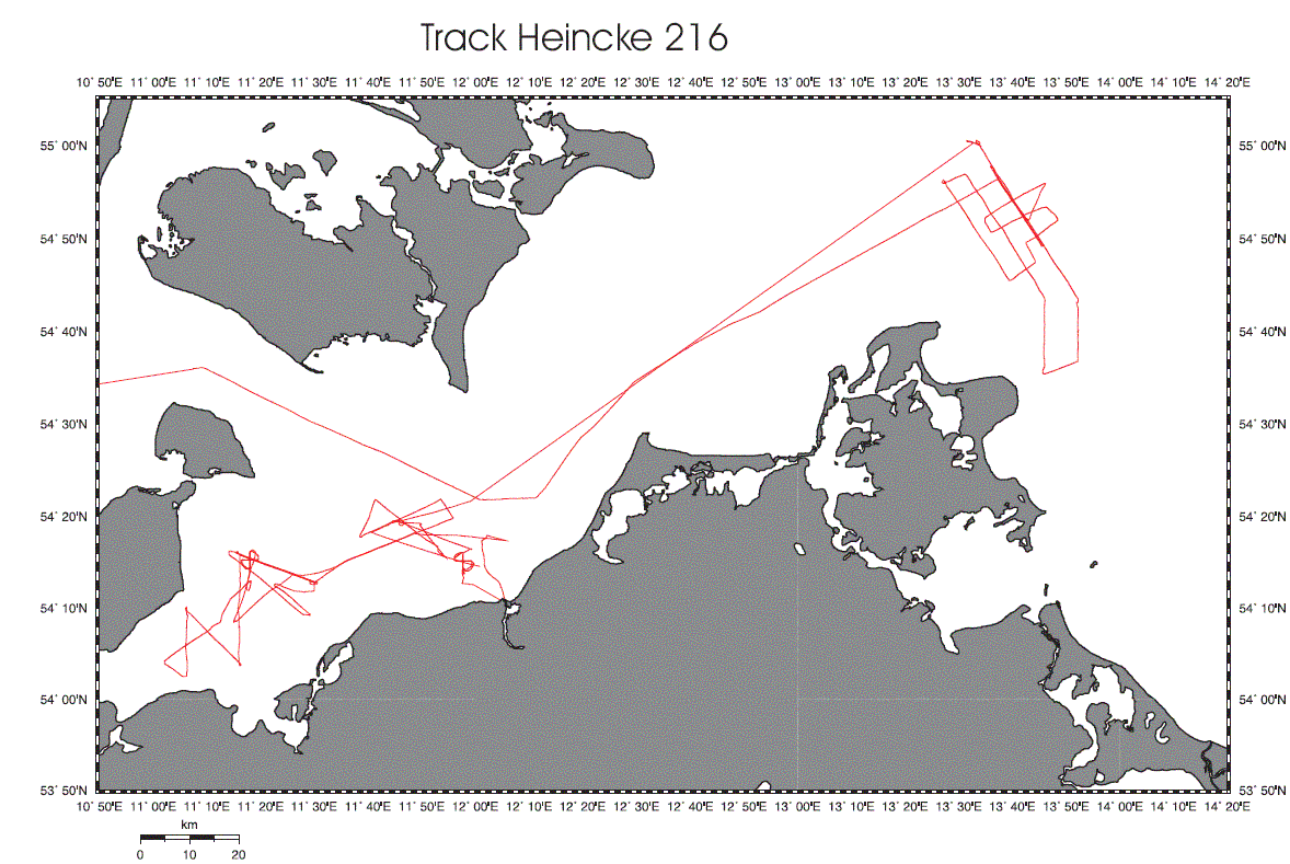
| Fahrtleiter Chief Scientist | Institut Institute | Auslaufhafen Port of departure | Einlaufhafen Port of return | Stationskarte Station map | Schiffsroute Trackchart |
|---|---|---|---|---|---|
| Krastel-Gudegast Sebastian | Fachbereich Geowissenschaften der Universitat Bremen | Warnemunde | Kiel | Karte Map |
Ziel der Reise / Objectives of Cruise:
Geophysical Field course with Master and Bachelor-Students. The main aim of the cruise was to introduce standard exploration techniques such as seismic, magnetic, and heat flow measurements. The specific scientific aims of the cruiese were: 1. Mapping of shallow gas in the meckelnburg bay and the Arcona Basin 2. Analysis of a temperature anomaly in the mecklenburg bay 3. Test of a new magnetometer
Messungen / Measurements
| Institut Institute |
Wissenschaftler Scientist |
Anzahl Number |
Einheit Unit |
Typ der Messungen Type of measurements |
Kommentar Comments |
Daten im DOD Data in DOD |
|---|---|---|---|---|---|---|
| MARUM | Krastel-Gudegast Sebastian | 320 | n miles | G25 Seismic reflection (no.of nautical miles) |
Mini-Gi-Gun, Boomer, 100-m-long 16 channel streamer | no |
| GEOUNB | v.Dobeneck Tilo | 100 | n miles | G28 Magnetic measurements |
Overhauser Gradiometer | no |
| MARUM | Krastel-Gudegast Sebastian | 17 | stations | G71 In-situ sea floor measurements |
6-m-long heat flow probe | no |
| MARUM | Krastel-Gudegast Sebastian | 21 | stations | H00 Stations |
- | no |